
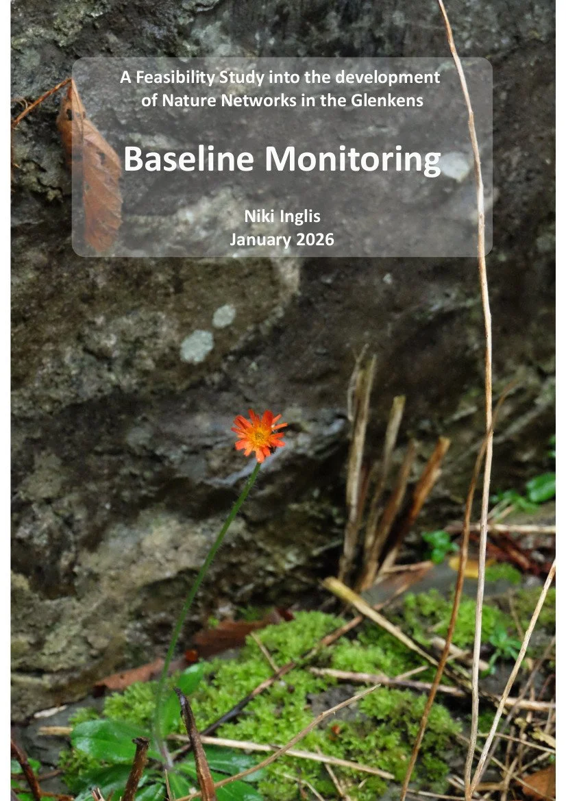
Baseline monitoring of the development of Nature Networks in the Glenkens
A feasibility study by Niki Inglis, commissioned by Dalry Community Council (DCC), funded by Inspiring Scotland and supported by the Glenkens Community and Arts Trust (GCAT), the Land Use subcommittee and the Galloway and South Ayrshire Biosphere (GSAB).
Click to download.
This project is the next chapter in the Glenkens Land Use Series starting with A Vision For Land Use in the Glenkens developed in 2023 and builds on work done across the area since it was added to the Glenkens and District Community Action Plan (CAP).
The Vision is based on the ethos:
“That everyone who takes value from our land returns value to it.”
The aim of the project was to create a Feasibility Study into the development of Nature Networks in the Glenkens considering the following objectives:
A) Create a robust base for which to seek further funding to develop Nature Networks
B) Give communities an immediate sense of participation in nature monitoring
Dalry Community Council (DCC) commissioned the project funded by Inspiring Scotland and supported by the Glenkens Community and Arts Trust (GCAT), the Land Use subcommittee and the Galloway and South Ayrshire Biosphere (GSAB).
It was organised into three strands as set out in the brief below with this report predominantly covering Strand 2 on Baseline Monitoring.
1) Feasibility Study: Conduct a feasibility investigation into the development of Nature Networks along the Glenkens. This work will include opportunity mapping to identify suitable sites and interventions. It will also require identifying landowners that would be amenable to Nature Networks, and building a light-touch collaborative stakeholder network to support progress. It will include community owned spaces such as community centre outdoor areas, Council-owned spaces such as play areas, and local Churches
2) Baseline Monitoring: will include ecological baselining through biological recording. It will require facilitating community engagement to support this, including arranging training workshop/s to develop citizen science skills
3) Participation Monitoring: will incorporate creative methods of participatory monitoring to input into the final Feasibility Study. This will be done through the Glenkens Land Notes Festival in August 2025
Click to download.
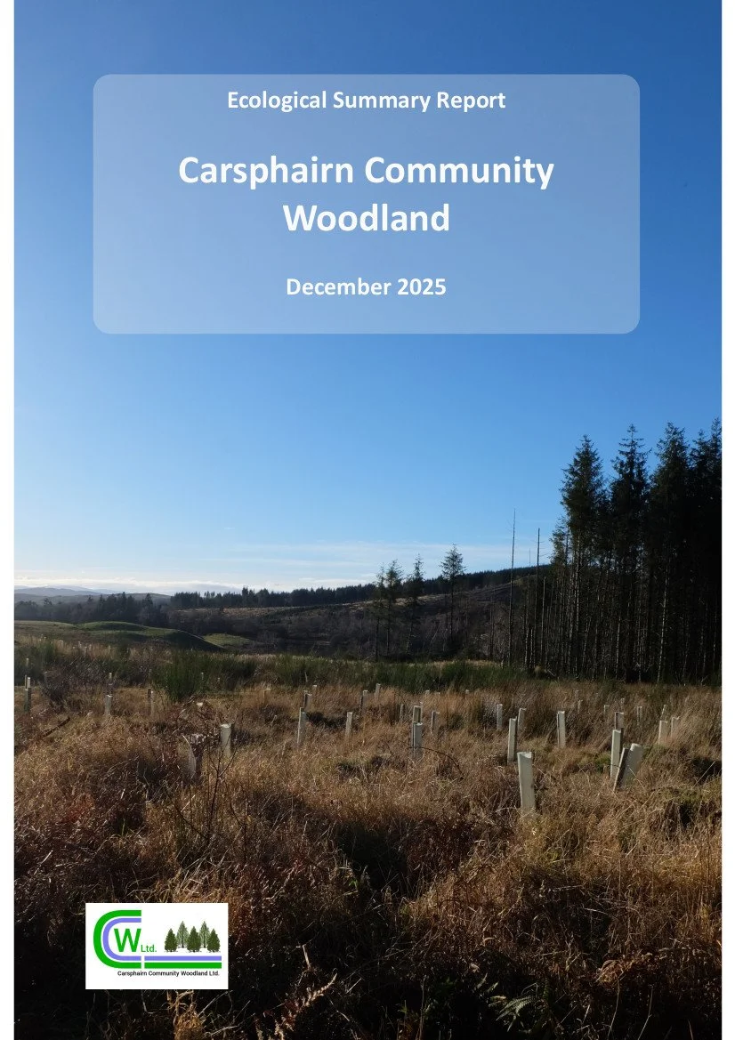
Developed during the project, the Ecological Summary Report for Carsphairn Community Woodland (CCW) can be used as a template by other community sites.
The report has been prepared by the volunteers at Carsphairn Community Woodland (CCW). It provides a summary of the ecological data gathered during the citizen science monitoring events in October and November 2025 followed by planned improvements and future recommendations.
A habitat overview was conducted on the site to the North East of the Hide in October capturing the major tree species, size and location as well as surrounding plant diversity. A quadrat in the locations marked on the map below was also completed in both October and November to identify species in detail using apps such as iNaturalist in a 1 metre by 1 metre square.