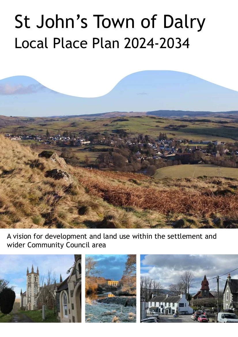
Dalry Local Place Plan
The Dalry Local Place Plan has been drawn up on behalf of Dalry Community Council, based on information gathered at a range of community engagement events and sessions held between August 2023 and May 2024 at which residents, local business owners and stakeholders have been invited to take part. The document aims to articulate the community's wishes for future development of the settlement and wider area, including the retention and improvement of existing facilities, housing and services, and views on land use.
The Plan was agreed by Dumfries and Galloway Council in November 2024.
The document contains the following sections:
1. Introduction, outlining what a Local Place Plan is and where the plan fits with previous consultations
2. Context, with information about the landscape setting, nature and biodiversity, history demographic information, and current facilities in the settlement. Current and changing land use practices are outlined, and treasured landscapes as identified by members of the community are also mapped.
3. Consultation outputs: a summary of comments and feedback received which was then used to draw up the Action Plan
4. Action Plan, including underlying principles for future development which should include opportunities for community wealth building and rural revitalisation, in line with NPF4 and other relevant planning legislation
5. Appendices
The development of the plan has been supported by funding from NatureScot, South of Scotland Enterprise and a UK Shared Prosperity Fund Local Place Plan Grant. It was supported by the Glenkens Community and Arts Trust and drafted by the Glenkens Community Spaces Facilitator, Becca Nelson. A number of residents and experts supplied content, and the process was overseen by a steering group comprising Jenna Cains and Morag Paterson (Dalry Community Council) and Helen Keron (GCAT).
Dalry Community Council would like to record its thanks to funders and also to all those who gave their time to support this process, including officers of Dumfries and Galloway Council who supported the plan development, and also to all contributors, including Angela Miller (librarian), Andrew Bielinski (RSPB), and all of the residents of Dalry who have fed their views into this plan and helped to improve the early drafts. Thanks also to Darren Challis for his invaluable help in setting up QGIS to create the maps, and to Freddy Ryan from Rethink Carbon for assistance with the peatland analysis figures.


