
Using Historic Maps to travel through ecological time
Dalry Town Hall, 18th September 7.30-9pm

Are our historic maps actually an asset to support today’s fight for habitat improvement and responding to the biodiversity emergency and habitat protection? This event on 18th September, delivered in partnership between the Galloway Glens Scheme and Dumfries Archival Mapping Project (DAMP), explores what pre-ordnance survey maps can tell us about what habitats used to be where and when, using four expert speakers to consider ‘Woodlands’, ‘Bogs’, Moths’ and ‘Meadows’ in Galloway in the 1700s…
The event is being delivered in the Dalry Town Hall, with tickets available to either attend in person or online. For more info and to reserve either type of ticket for free, click here: https://www.eventbrite.co.uk/e/the-time-travelling-ecologist-tickets-649022211907.

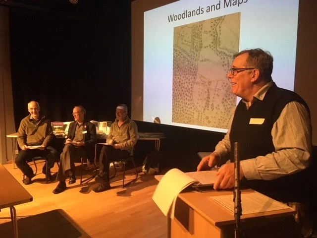
Peter Norman speaking at a previous DAMP event.
Nick Chisholm, Galloway Glens project Officer added:
“What was the biodiversity in our landscape like in 1790-1820? We can’t now for certain but by looking at old maps we can get clues on what was about. If we want biodiversity gain, we must understand what went before, not to turn the clock back but to understand our land’s capacity to heal. For this we need to become time travellers!”
Earlier in 2023, the Galloway Glens Scheme, DAMP and the National library of Scotland combined to undertake ‘Project Gremlin’, using estate maps to define land use type, allowing this data to be interrogated for change over the intervening centuries. More info about the GREMLIN project can be found here: https://maps.nls.uk/projects/gremlin/.
Archie McConnel speaking at a previous DAMP event.
Archie McConnel from DAMP will be speaking at the event on 18th. Looking ahead to the evening, Archie said:
“To some, time travel may appear too fanciful and the scientists amongst us start treading warily when fanciful speculation is taken as fact. Having said that our estate maps in Scotland represent a way to look at what was going on in our countryside over 200 years ago with a precision and accuracy that we have not had before. These old maps are the nearest that we will perhaps ever get to a time machine. They tell us about economics, agriculture, society and even ecology. Any historic research is in many ways speculation but we can at least speculate with some information in our various files! At the very least Project GREMLIN allows us to peer deeper and concoct more cogent sounding stories about our ecological past!”