Help put the Glenkens on the digital map
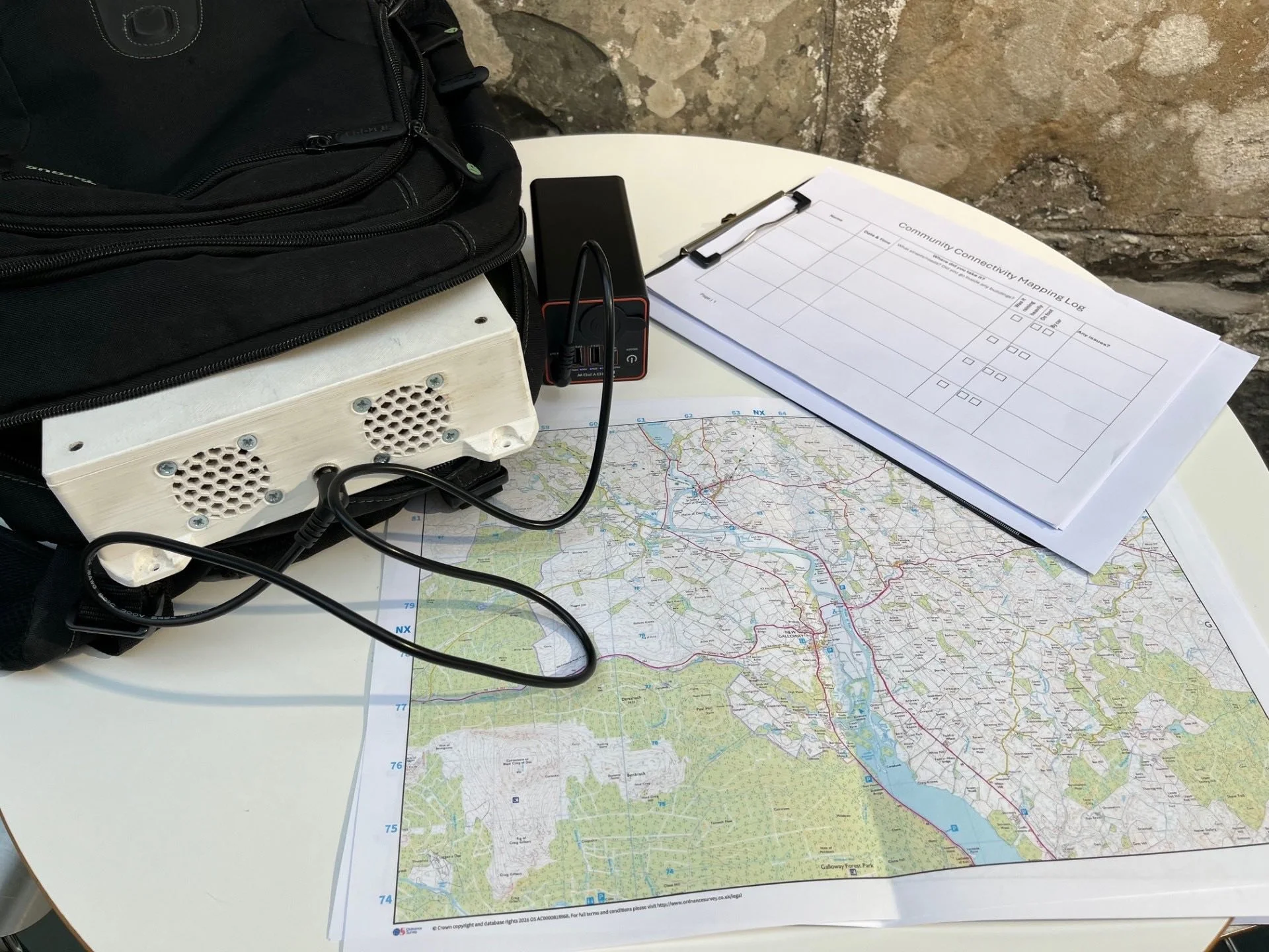
Glenkens Community & Arts Trust (GCAT) have teamed up with The Crichton Trust and Smart Rural Ltd to track real mobile and data coverage across the Glenkens using a high-tech connectivity backpack.
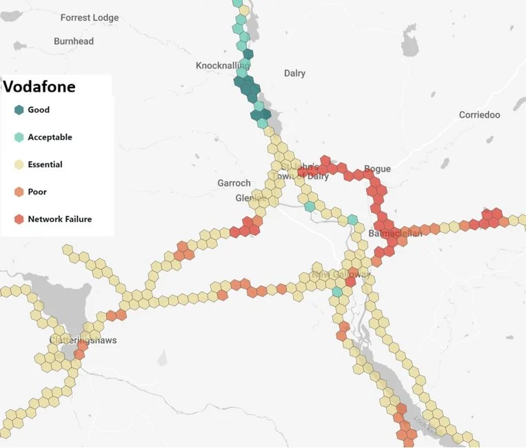
The backpack measures mobile coverage and signal strength, helping to pinpoint signal blackspots. The data GCAT gathers will be used to push for the investment our rural communities deserve.
GCAT are looking for volunteers to take the backpack out for a day and help them map:
Village halls, libraries & cafés;
Remote farm steadings & isolated cottages;
Main roads, minor roads & single tracks;
Bus stops & known “not-spots”.
This is especially important for homecare workers, delivery drivers, emergency services and anyone who’s ever stood waving their phone in the air trying to get one bar of signal.
If you want to have your road, workplace or community venue mapped, or you’re happy to carry the backpack for a day, get in touch with Andrew at: andrew@catstrand.com.
Let’s build the evidence and strengthen connectivity across the Glenkens together!